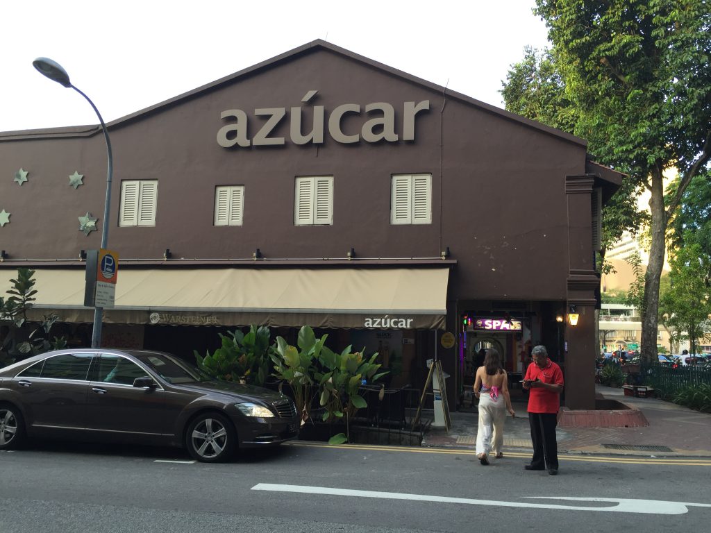
The nearest MRT to get to Azucár is Bugis MRT. Do take note that there are 2 lines to Bugis MRT – East West Line (Green) and Downtown Line (Blue).
If you are planning on getting to Azucár via other landmarks, do click on the following Google Maps link, which has the destination address already entered, and view the suggested route to Azucár: Directions to Azucár (Google Maps)
To Azucár From Downtown Line (Blue Line)
If you are taking the Downtown Line to Bugis MRT, follow the signs to Exit D upon alighting the MRT and click here to view the directions from Bugis Downtown Station (Exit D) to Azucár.
To Azucár From East West Line (Green Line)
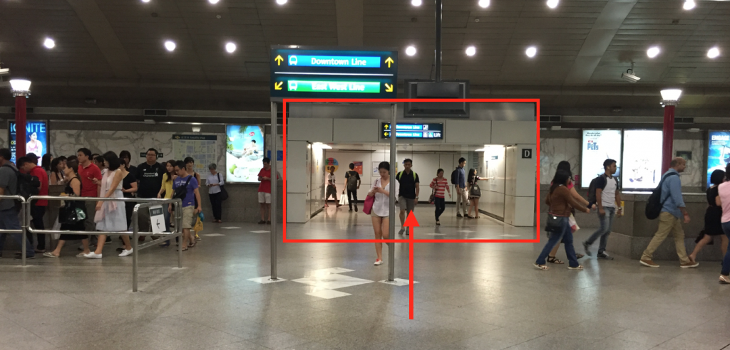
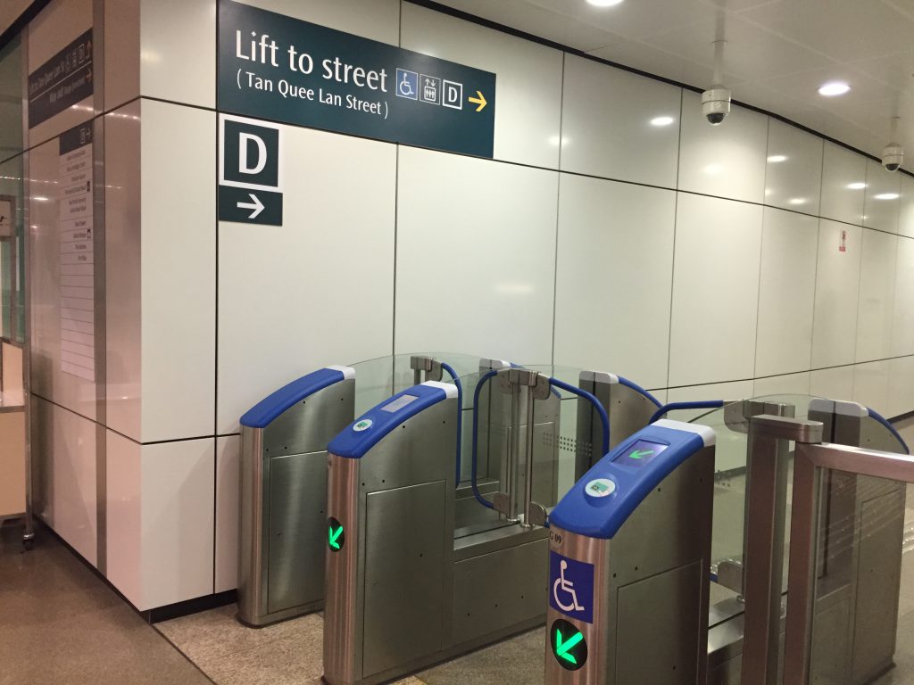
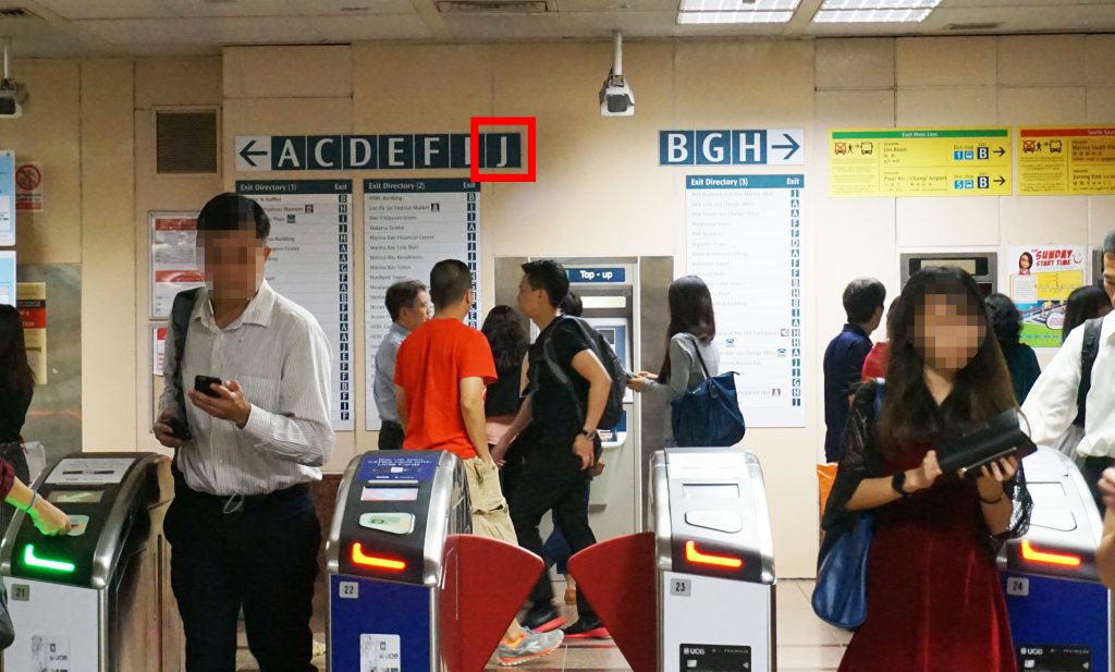
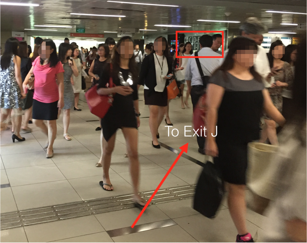
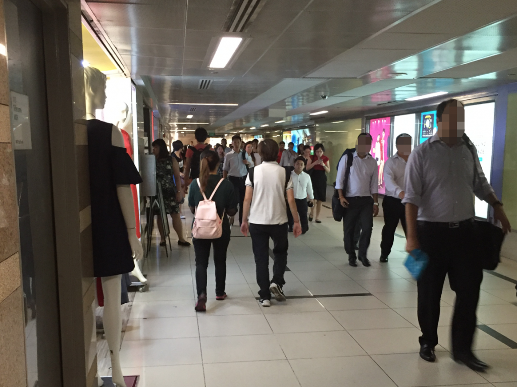
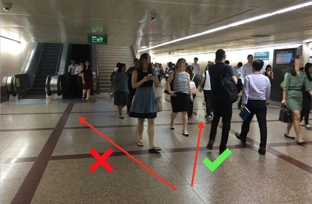
Upon alighting the MRT, take the escalators up to the ticket concourse level. However, do not tap out of the station. Find for the Exit D sign, similar to the picture below, and walk in the direction of Exit D.
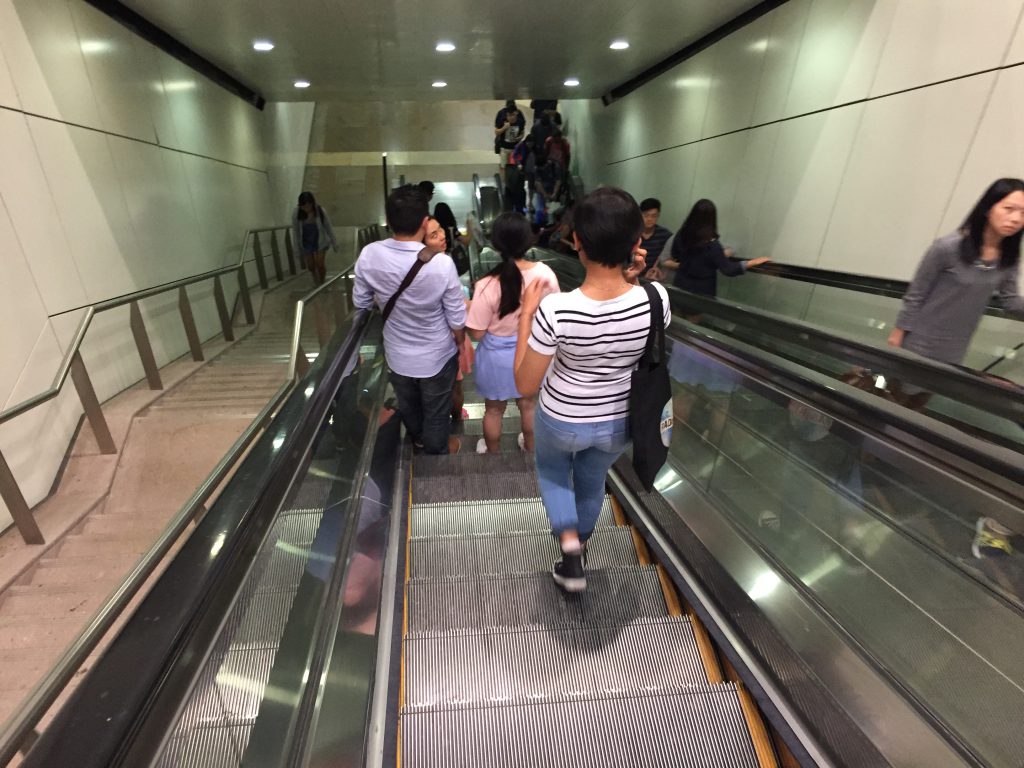
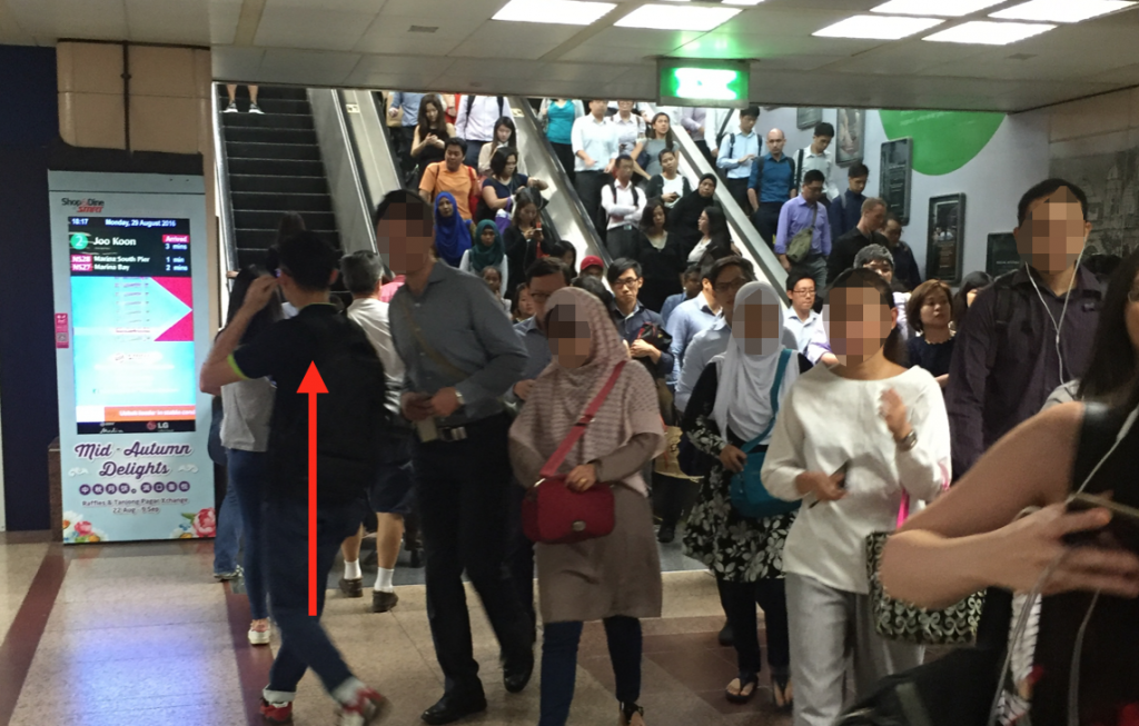
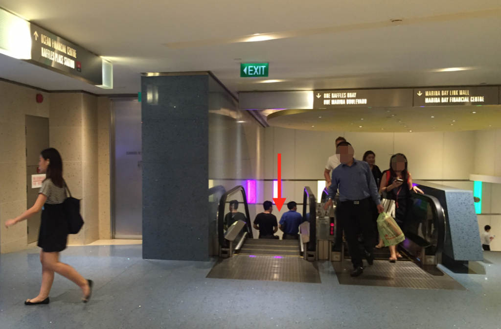
You’ll have to take the escalators down,
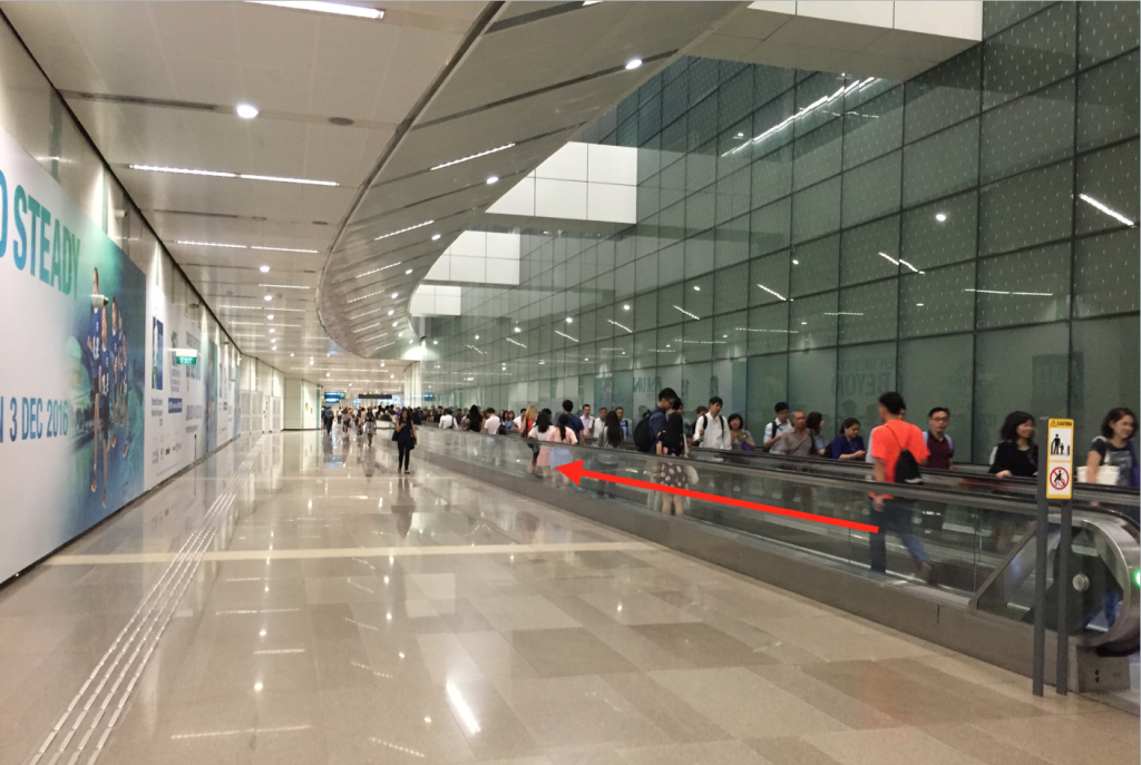
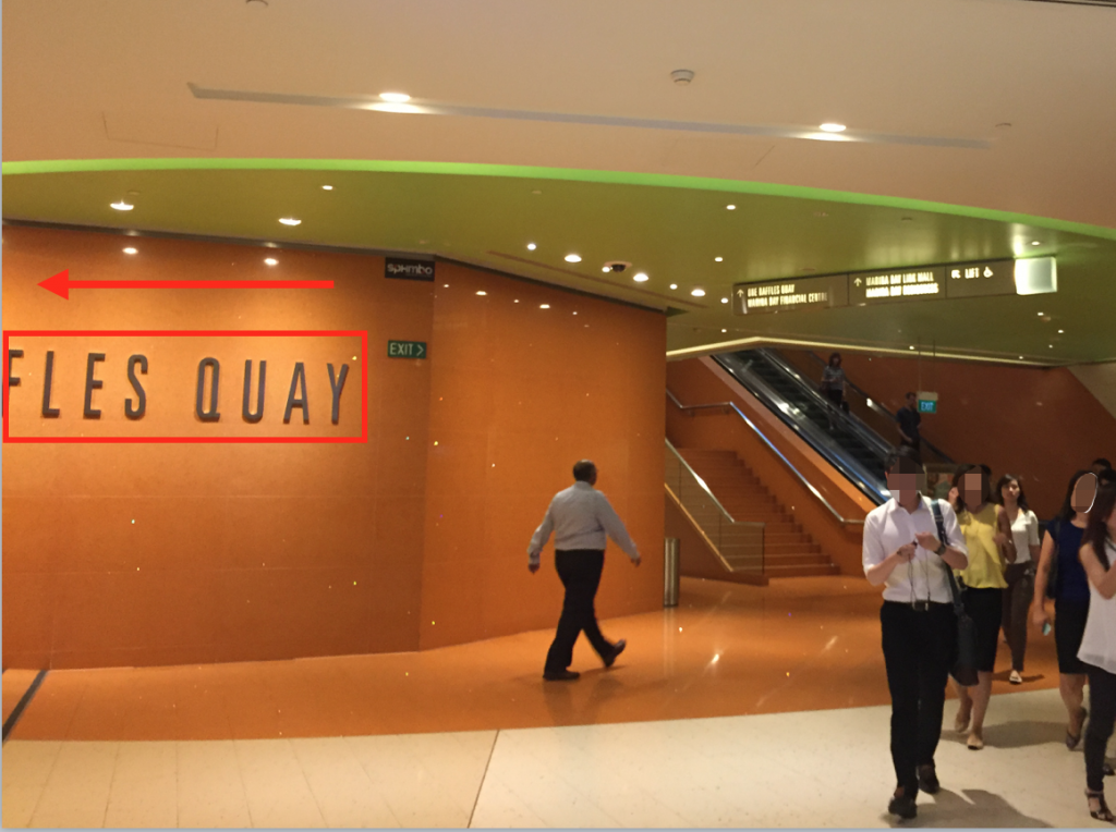
Take the travelator,
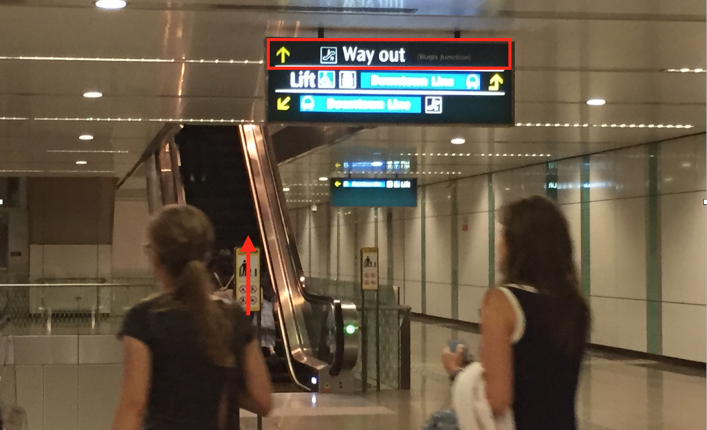
Walk a bit further, before the “Way Out” sign (shown below) could be seen. Take the escalators up, as indicated by the arrows on the signboard, and do not take the escalators down to the Downtown Line.
Exit the station via the Exit D ticket gantries and take the elevator up. Press “1” to go to the Street Level.
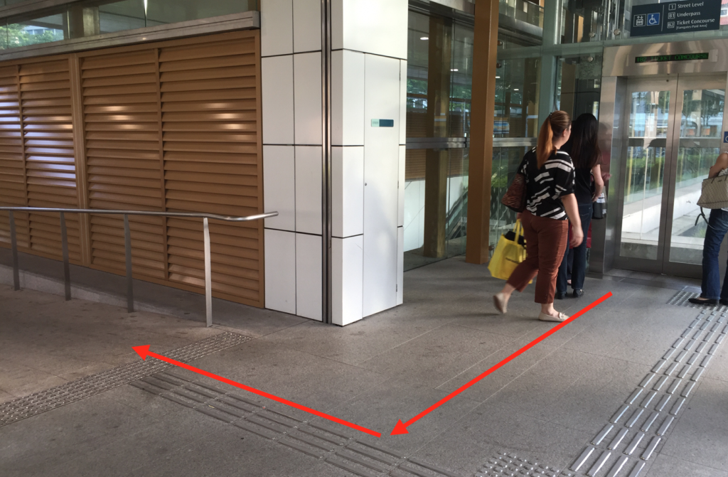
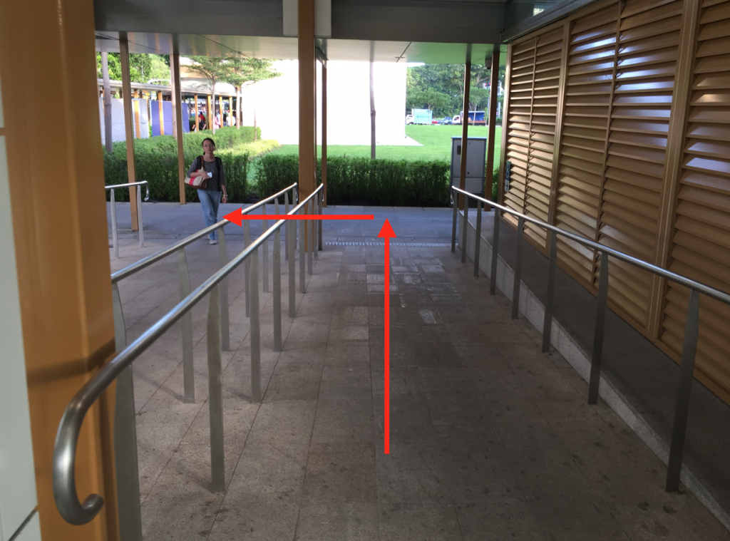
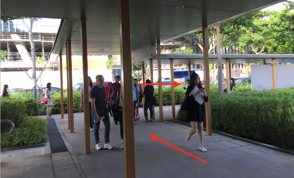
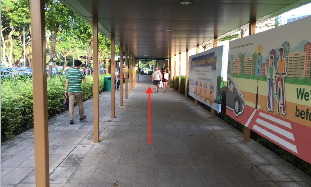
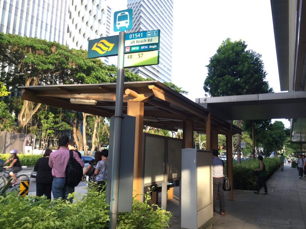
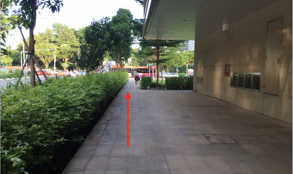
Upon exiting the lift, follow the directions indicated by the pictures below and make sure that you walk pass the “Aft Beach Road” bus stop.
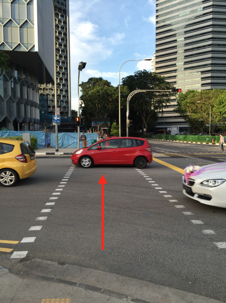
Walk straight, pass the bus stop, until you see a red light crossing.
Cross the red light and walk straight for approximately 5 minutes before Azucár comes into view.
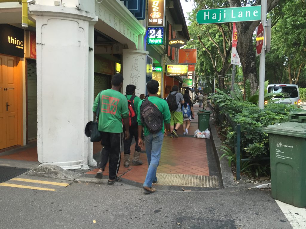
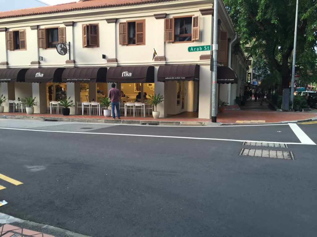
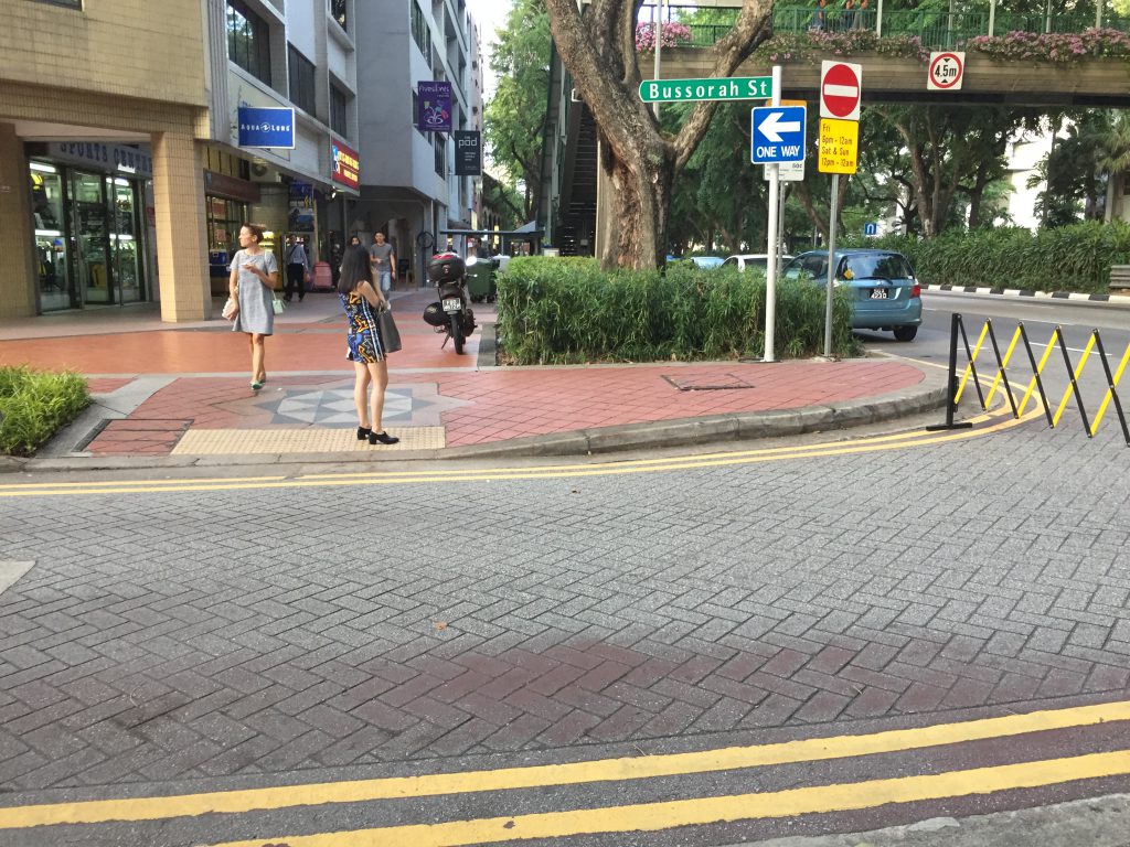
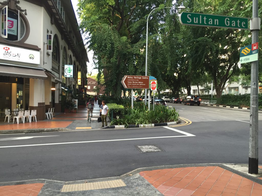
You’ll have to cross another red light, walk across Haji Lane, Arab St, Bussorah St and Sultan Gate before you see Azucár right ahead.
See you at Azucár!
